Approximate location — plotted from published sources, not a site visit, and not a guarantee of access.
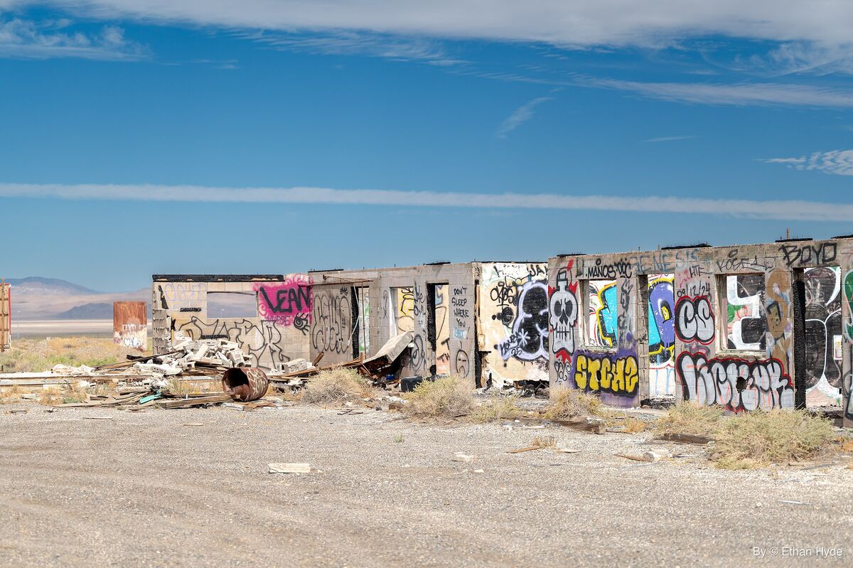
Abandoned mid-century highway stop at the junction of US-6 and US-95 in the Tonopah Basin — a cluster of empty motel, café, and gas-station shells left after coal, borax, and tourist trade died out. One of Nevada's most photographed roadside ghost towns: squat mid-1900s commercial buildings sit right beside the pavement with zero services for miles in either direction.