Approximate location — plotted from published sources, not a site visit, and not a guarantee of access.
Tonopah and Tidewater Railroad siding turned supply town for Death Valley mines. Crumbling adobe foundations, a rusted water tank, and old rail grade remnants remain on the flat Amargosa Valley floor.
Artifacts & structures are protected by federal law (ARPA) — take only photos, leave every relic in place.
Era
1905-1915
Railroad
Las Vegas & Tonopah / Bullfrog Goldfield RR
Access
Hwy 95 spur (dirt)
Fee
Free
Peak Pop.
about 100
From stamp mill to railroad townsite
Bonnie Claire is a ghost town in Nye County on the edge of Sarcobatus Flat. The name is also spelled Bonnie Clare, and the place went by several others. Legends of America lists Thorp, Thorp’s Wells and Montana Station among them.
All three sources agree that gold mining began in the 1880s, and Legends of America and Destination4x4 say a stamp mill was built at Thorp’s Wells. In 1904 a company named for Bonnie Clare took over the mill, according to Destination4x4 and the Review-Journal. Legends of America says it built a larger one on the site. A post office named Thorp opened in 1905.
The railroad set the town’s shape. Destination4x4 and Legends of America say the Bullfrog Goldfield Railroad reached the site in September 1906, and that a townsite platted the next month took the name Bonnie Clare. The Las Vegas and Tonopah Railroad arrived in 1907, according to the Review-Journal and Destination4x4. Population figures differ. The Review-Journal and Legends of America give about 100 at the peak. Destination4x4 estimates 100 to 250.
Decline and later revivals
Sources disagree on why the town faded. Legends of America blames the Panic of 1907. Destination4x4 says local gold and silver ran out between 1909 and 1914. Both describe a short revival in the 1920s, when materials for Scotty’s Castle, about 20 miles away in Grapevine Canyon, were unloaded here and hauled on by truck, and by wagon according to Legends of America. Dates for the end of rail service vary: Destination4x4 says the railroads stopped around 1928, and Legends of America says the tracks came up in 1931. The Review-Journal says the rails were torn up for salvage during the Depression. The post office closed in 1931, and Destination4x4 says only two residents remained.
Lead processing came later. Destination4x4 says George Lippincott built a lead mill and smelter on the old mill site in late 1951, and that it began work in 1952 on lead-silver ore trucked in from Death Valley area mines and ran only a few years. Legends of America instead dates the Lippincott smelter to 1935 through 1953. The Review-Journal adds that the camp housed highway crews in 1951, after flash floods washed out the road to Scotty’s Castle. Destination4x4 says the town became a permanent ghost town in the mid-1950s.
What remains and visiting
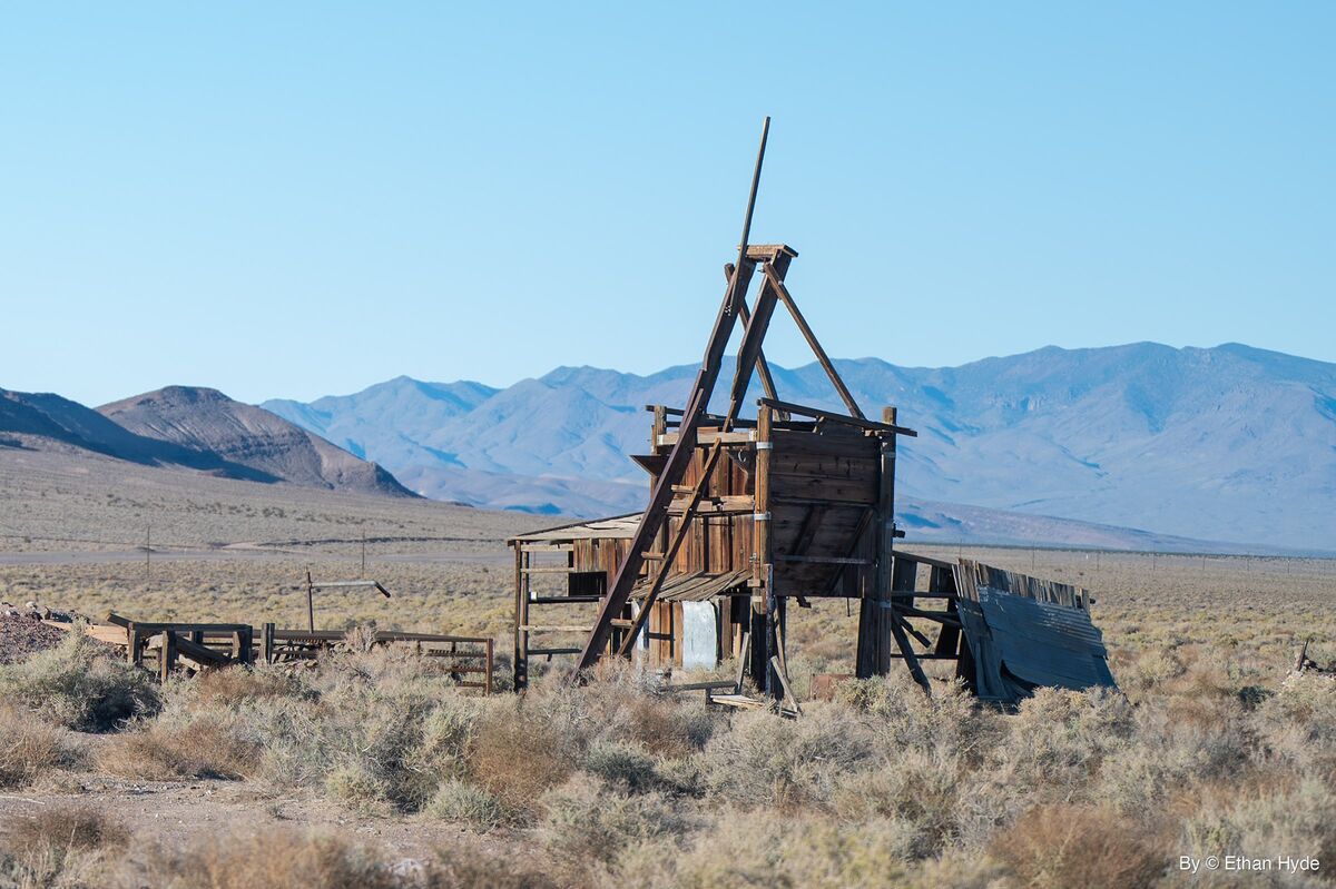
Destination4x4 lists stone and concrete mill foundations, a leaning steel-frame structure, tailings piles, metal tanks, scattered foundations, railroad beds and a small cemetery. The Review-Journal describes weathered remains straggling down a slope below the outline of the mill, with traces of the old rail bed visible on Sarcobatus Flat.
The ruins sit close to Nevada State Route 267, the road toward Scotty’s Castle. The Review-Journal puts them about seven miles from Scotty’s Junction, reached by an unpaved spur. Destination4x4 also describes a short unpaved spur off the highway. The atlas lists the access as a Highway 95 spur; the sources place the site on Route 267, which branches from US 95 at Scotty’s Junction.
None of the sources gives land-status or safety rules. Mill and mine ruins are hazardous, so keep clear of unstable structures and any openings. Leave artifacts and the cemetery undisturbed. Spur conditions change, so check with the Bureau of Land Management before driving it.